
Swiss drone expertise
White Owl provides operational geospatial data for companies and public authorities. Based in Valais, our vision is simple: to deliver high-performance and sustainable strategic solutions to issues of public interest. Integrated at every stage of project management, they secure operations, optimize costs, and limit exposure to legal and financial risks. We operate in constrained environments (active sites, regulated areas, or limited-access configurations) with controlled regulatory planning and precise georeferencing tailored to professional tools.
Our areas of intervention

Construction – Public works

Property Management

Industrial – Energy
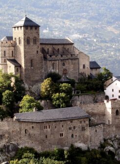
Cultural Heritage
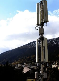
Telecommunications networks
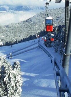
Ski lifts

Electrical networks

Rail networks
Our approach
Our approach, based on sustainable project management, consists of producing reliable and usable georeferenced data for: project management, risk control, and strategic decision-making in complex contexts.
Analysis of needs and site
Flight planning and authorizations
Aerial data capture
Data processing
Quality control
Deliverables
Give your project a new dimension with White Owl.
Contact us to discuss your challenges and build a clear framework before making any binding decisions.